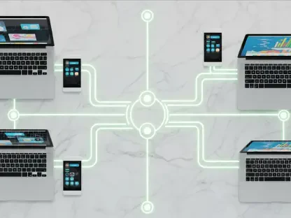

In an era where transportation infrastructure is becoming increasingly complex, the need for innovative solutions to manage sprawling fiber optic networks has never been more pressing, especially as agencies strive to build smarter, safer communities through advanced technology. Transportation agencies across state and local levels are grappling with the challenge of maintaining efficient systems while adapting to rapid digitization. A groundbreaking partnership between Traffic and Parking Control Co., LLC (TAPCO), a veteran in roadway safety solutions, and 3-GIS, a leader in fiber optic network software, promises to address these challenges head-on. Announced recently, this collaboration seeks to revolutionize how intelligent transportation systems (ITS) are planned and maintained by merging field expertise with cutting-edge digital tools. This alliance is set to redefine operational efficiency, offering a glimpse into the future of infrastructure management where real-time data and automation play pivotal roles.
Advancing Infrastructure with Strategic Collaboration
Uniting Field Expertise and Digital Innovation
The synergy between TAPCO and 3-GIS marks a significant milestone in addressing the evolving demands of transportation infrastructure. TAPCO, with decades of experience in providing safety solutions for roadways and parking, brings a wealth of practical knowledge to the table. By partnering with 3-GIS, known for its sophisticated geographic information system (GIS) software, the collaboration integrates hands-on field services with advanced network design and management capabilities. This union aims to streamline the deployment and maintenance of fiber optic networks, which are critical for modern ITS. Transportation agencies can now access tools that not only enhance planning accuracy but also ensure seamless service activation through automation. The result is a more connected and responsive infrastructure that can adapt to the needs of growing urban environments, ultimately fostering safer and smarter communities through reliable technology.
Bridging Gaps in Network Management Solutions
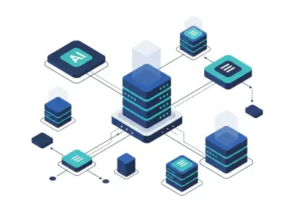
A key aspect of this partnership lies in its ability to fill critical gaps in current infrastructure management practices. TAPCO recognized a need for robust software to complement its field services, particularly in areas like accurate documentation and record-keeping of complex agency networks. The integration of 3-GIS’s specialized tools offers real-time data insights, enabling agencies to make informed decisions swiftly and maintain network integrity with precision. This is particularly vital as transportation systems transition to smarter frameworks that demand high levels of operational efficiency. By combining TAPCO’s established relationships with state and local entities with 3-GIS’s innovative approach, the partnership ensures that agencies have access to comprehensive solutions tailored to their unique challenges. This strategic alignment not only enhances existing systems but also sets a new standard for how fiber networks are managed in dynamic, technology-driven landscapes.
Driving Smarter Communities Through Technology
Empowering Agencies with Cutting-Edge Tools
The collaboration between TAPCO and 3-GIS is poised to empower transportation agencies with tools designed to transform fiber network management from a cumbersome task into a streamlined process. The GIS-based software from 3-GIS provides detailed planning and design features, allowing for meticulous oversight of network expansion and maintenance. This means agencies can anticipate issues before they arise, reducing downtime and improving overall service reliability. Furthermore, the partnership leverages TAPCO’s deep-rooted connections in the industry to extend these technological benefits to a wider audience, including educational and municipal sectors. By equipping agencies with such advanced capabilities, the alliance supports the broader goal of creating intelligent transportation systems that prioritize safety and efficiency, ensuring that communities remain connected in an increasingly digital world where infrastructure plays a central role.
Reflecting on a Vision for Future Infrastructure
Looking back, the alliance between TAPCO and 3-GIS stood as a testament to the power of combining industry experience with technological innovation to address pressing infrastructure needs. The integration of sophisticated software with practical field solutions marked a turning point for transportation agencies seeking to modernize their networks. Reflecting on this partnership, it became clear that the shared commitment to reliability and service excellence had paved the way for significant advancements in ITS. Moving forward, agencies were encouraged to explore how such integrated tools could be adapted to future challenges, ensuring scalability as urban demands grew. Consideration of ongoing training and support for these technologies emerged as a vital next step, promising to sustain the momentum of smarter community development. This collaboration highlighted a path toward resilient infrastructure, urging stakeholders to invest in solutions that balanced immediate needs with a long-term vision for connectivity and safety.